Biggest Hike Yet ("climb" by some definitions)
So!
Today was the day. Up Mount Rundle. Wowee... First, let's see if I can dig up a shot of this beast; I'm sure i've taken one at some point....
This one will do! It's an oldy, but a good-y!! Rundle is the one on the left
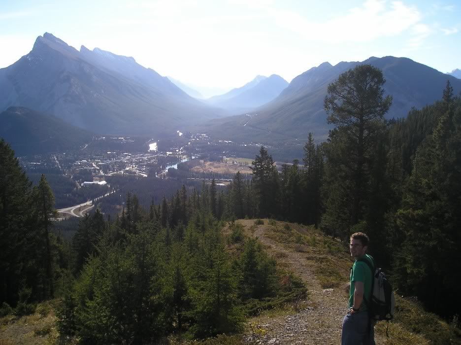
Let's see. Some stuff about Mt Rundle (talk about edutainment! This blog offers everything)
Elevation: 2950m (ooo!)
Mount Rundle is 12km long! Zomg! And has many "peaks" along the way
It's quite famous amongst Mountain Photographers (for obvious reasons) and geologists. The geologist part is actually pretty interesting:
You can quite easily see how the mountain was pushed up despite erosion (that has
changed many other mountains in the area that wer ebuilt the same way)
The rock on top is older than the rock on the bottom. Wrap your head around that one.
Anyway, before I say anything to the contrary, we didn't actually make it to the true summit. Like I said, there are many "summits" of the mountain and we made it the 2nd highest one. The highest is inaccessible without climbing gear. Man...gotta go back up there and build a huge cairn on top of our summt to fix that. Now THAT is a mission.
Anyway there were 4 of us set to go. One bailed and another called in sick to work..er...hike. So Tom and i went out. We hit the trailhead at 7:30 and were greeted by 6km of forested path, usually gently sloping but occasionaly some steeper switchbacks. The forest was nice, the bugs weren't so nice, adn the views weren't that much for a while. However, what was interesting was the continuing change in vegetation from very lush to very rocky.
Here's Tom. Otherwise this picture is pretty random
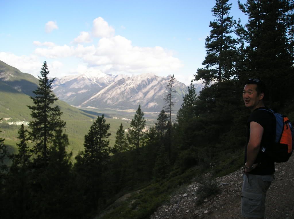
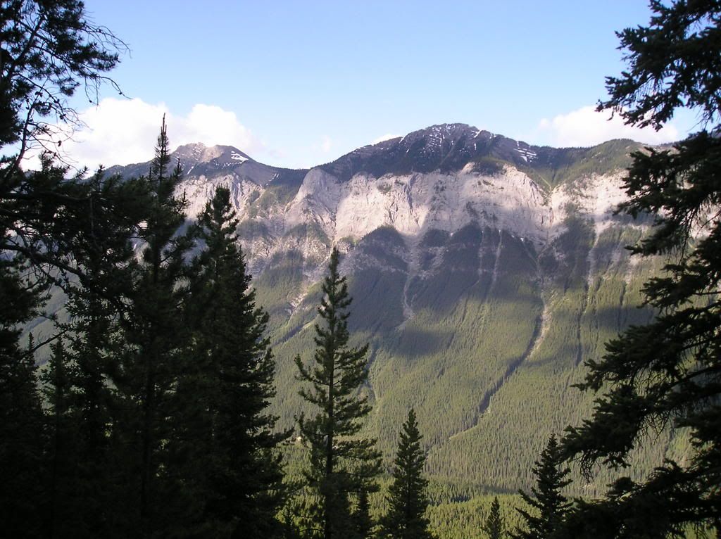
And a picture of the mountain across from us - Sulphur. Occasionally the trees would break like this and we'd get a view. They never broke up the mountain though, so we never really knew where we were or how far away from the summit we were.
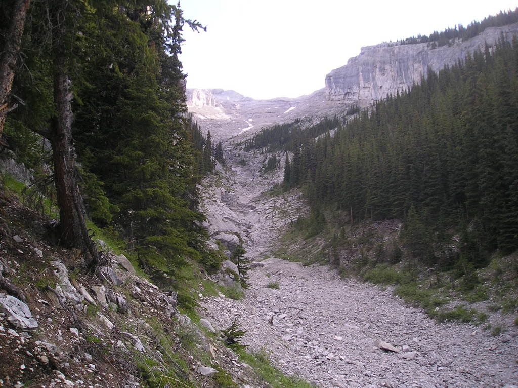
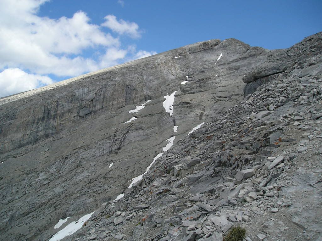
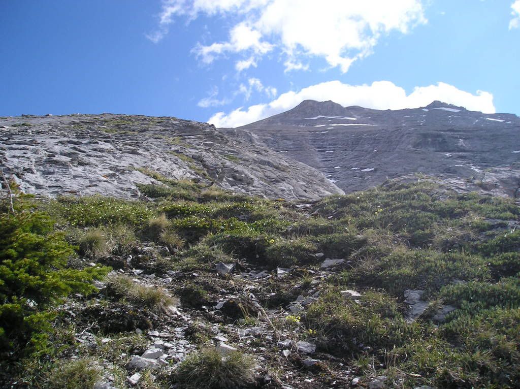
Finally we got through "Part 1" (re: the easy part) of the hike and arrived at this gully. It gave us the first view of just how far we had to go. WE were dismayed. I checked our guidebook and they quoted that we were fortunate enough to STILL have 1125m in vertical-gain only to go. we were not impressed. But pressed on, persevered, and continued. And we kept going.
So the rest of the climb was...fun. Yea....fun. To say the route was steep would be like saying that mom's brand of stupid-food is "ok". It was also quite long. YOu can get a sense of the steep-ness in most of the shots.
The slope at the start
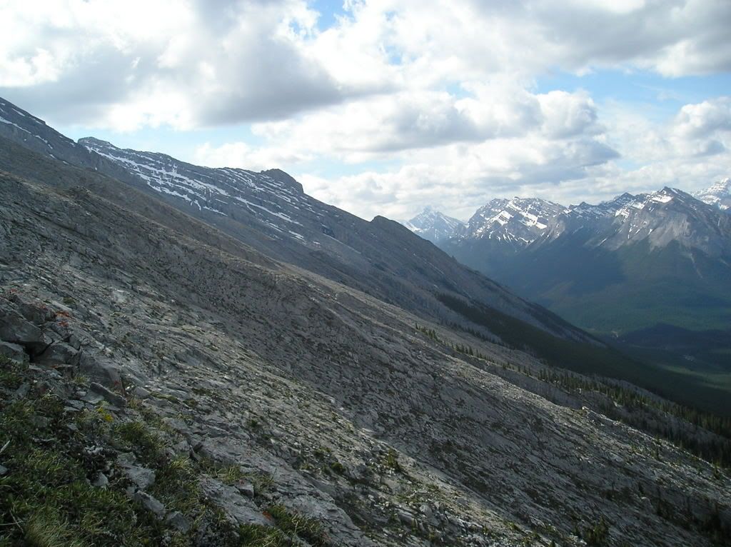
Long way up from that gully already. It hasn't gotten any easier
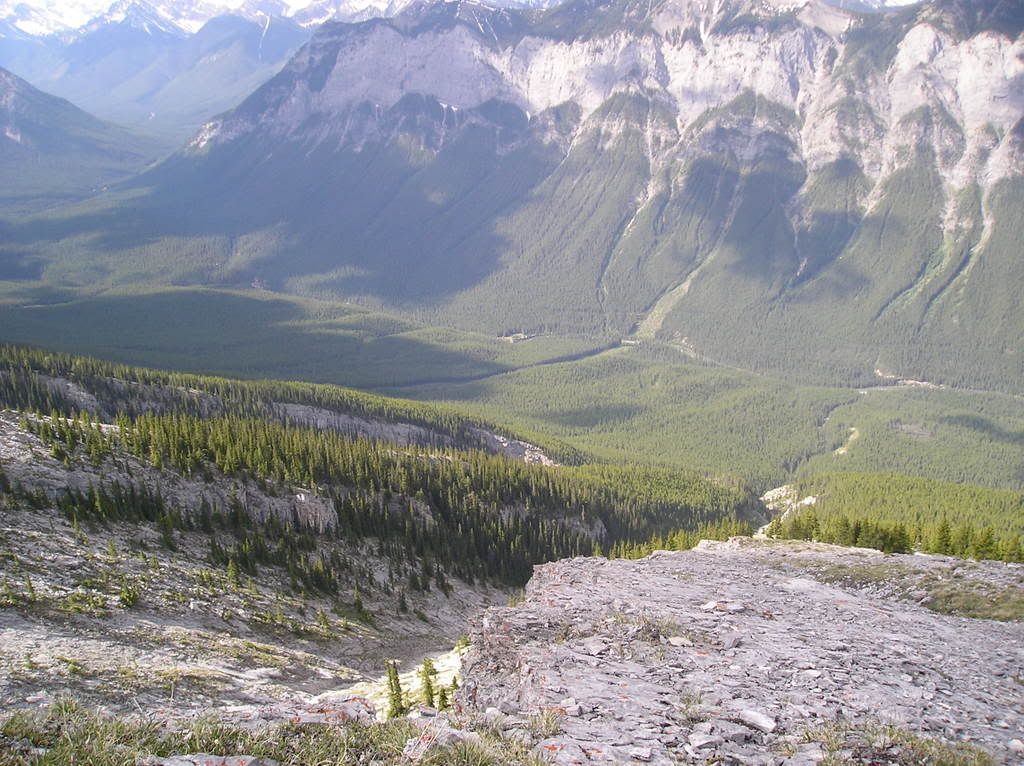
And our 1st break (same spot as the last 2 photos). Had some food here and a well-deserved rest. The slope is just unrelenting.
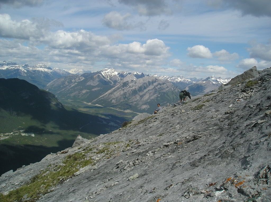
One of the more (or possibly only) interesting portions of the hike was this section over what's called "Dragon's Back". The pictures should explain why. The cliffs on each side were pretty big and the rock was fairly slippery because of all the loose pebbles on it. Exciting!!! Makes a good adrenaline-sport out of walking at .5 mph :p
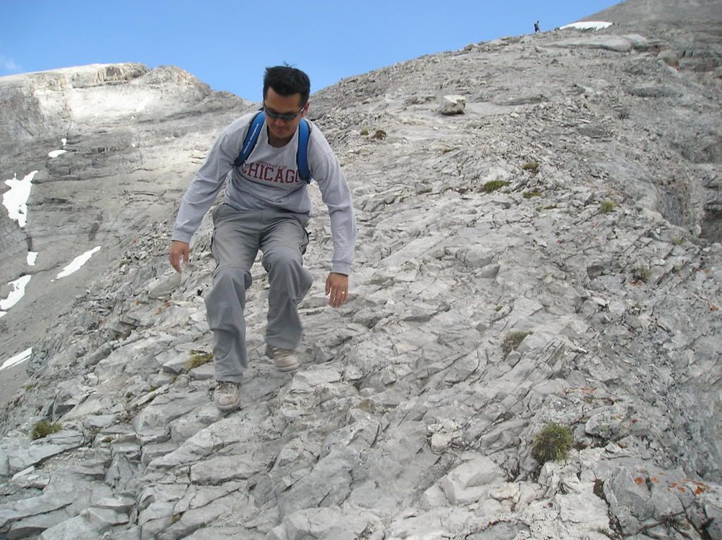
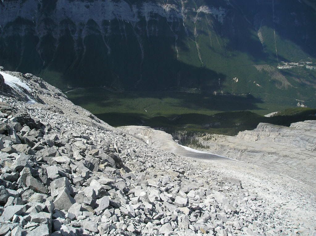
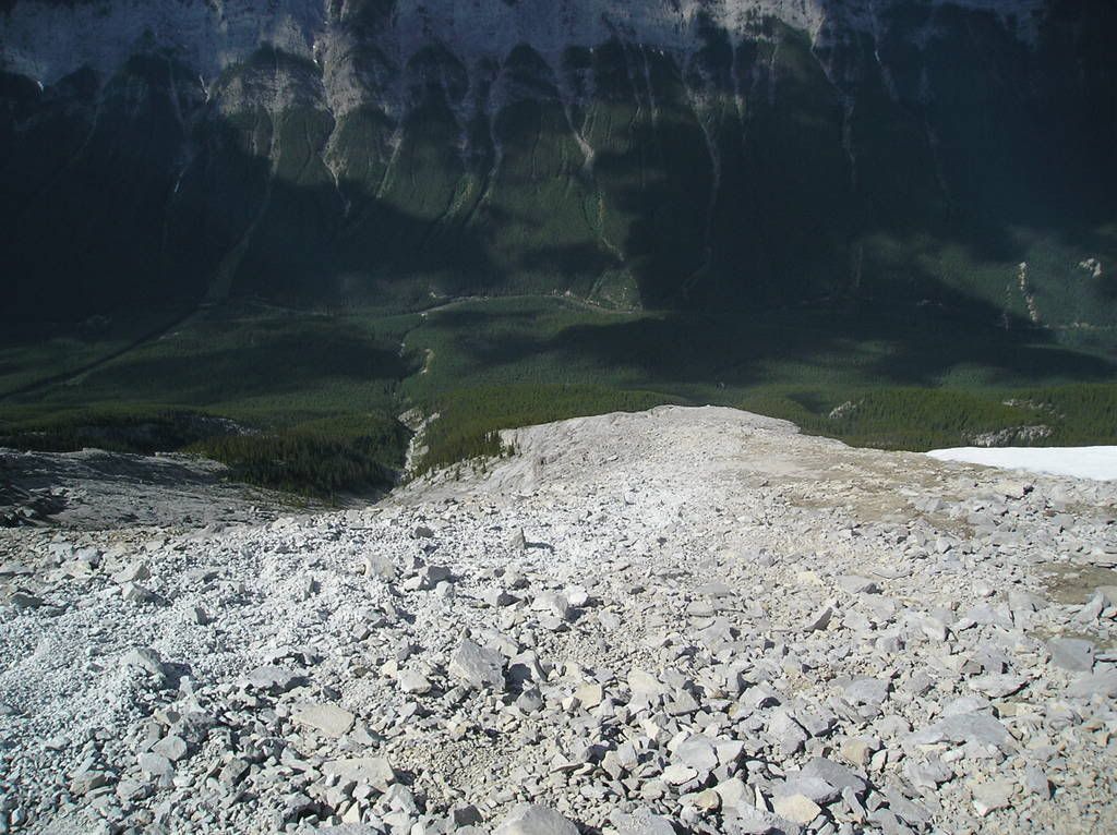
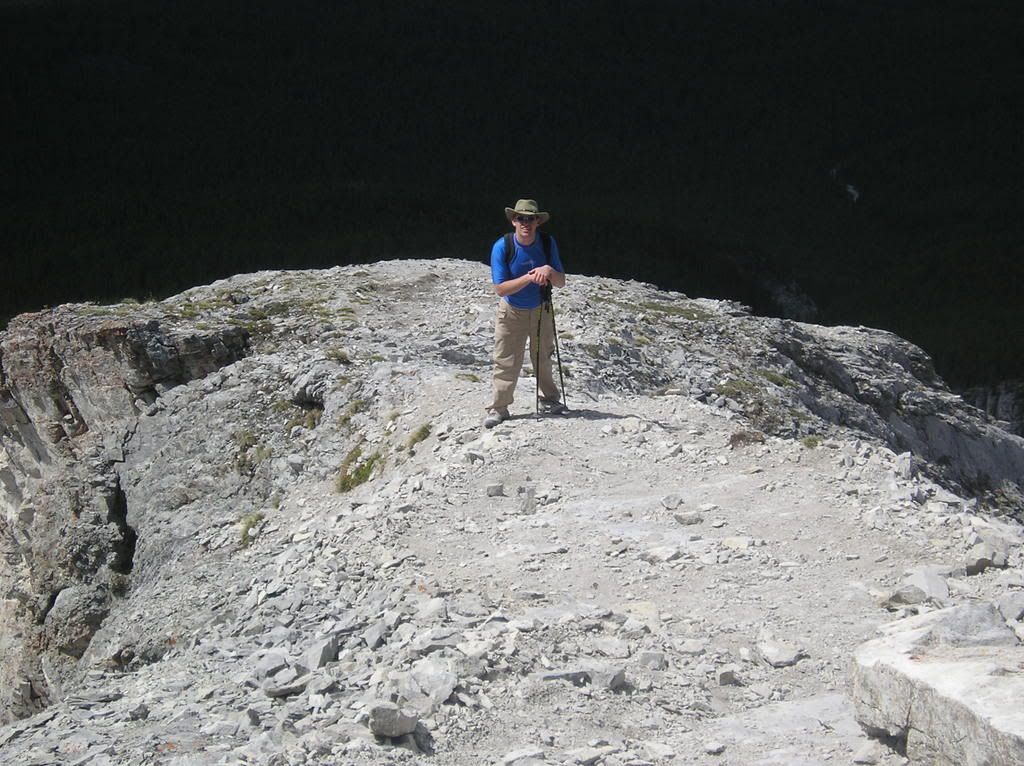
No that last one i'm not outer space, but it's a cool camera effect!! Can't figure out how it happened.
So next up are a bunch of pictures taken from the summit. Definitely went 360-degrees up there. Was tough because it was FREEZING cold and the wind was nuts. I unfortunately failed in my role as king-gadget and left my uber-swiss army knife at home, so I was unable to get a temperature reading. But we figure somewhere between 2 and 4 degrees is accurate. Then there was an increidble amount of wind. It's a good thing that somebody was good enough to build a fort!! Alas, no verifiable evidence exists of my defending of said fort because I was on break
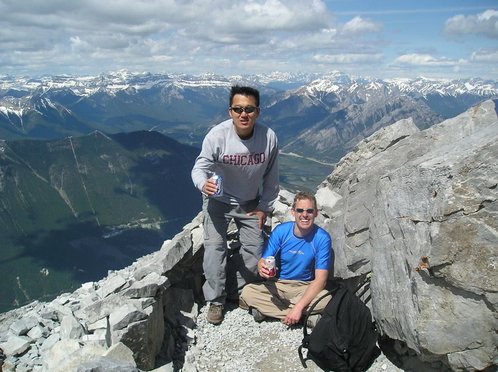
Tom up at the summit. ooo story...
So we're going up...and up...and up...and you get towards the top and you are walking right along the ridge...
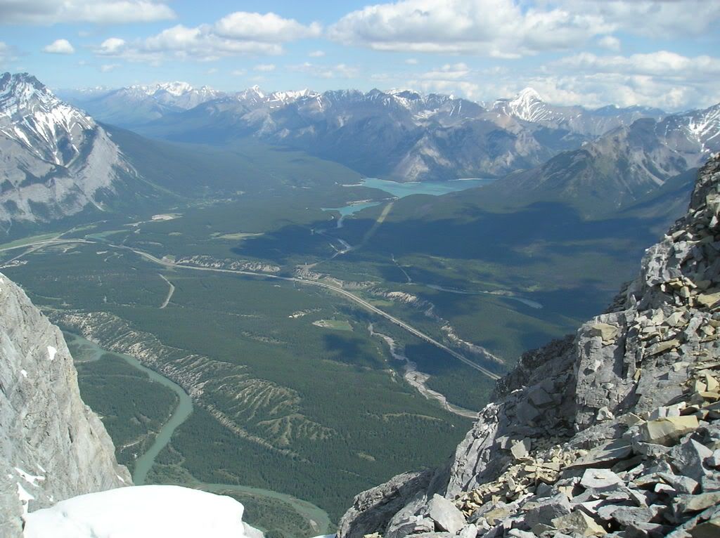

And it's cool and somewhat scary and colder than blazes and we're exhausted and going "awesome! we're almost to the top!!!!!". So we turn 90-degrees and continue along the ridge (now the main, 12k ridge that runs the length of the mountain) and get to the summit and discover it's not, in fact, the top, and that we have to scramble another few minutes. *sigh*. Anywhere, here's tom at the highest accessible point
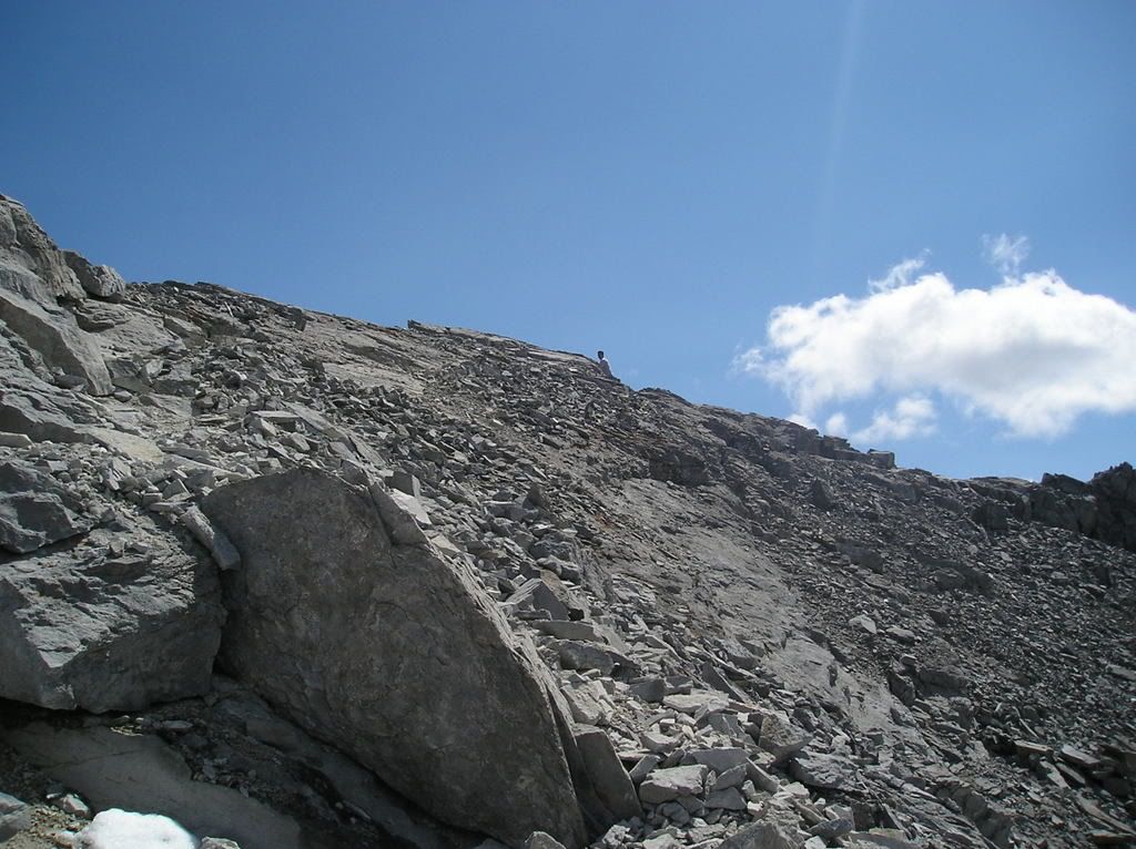
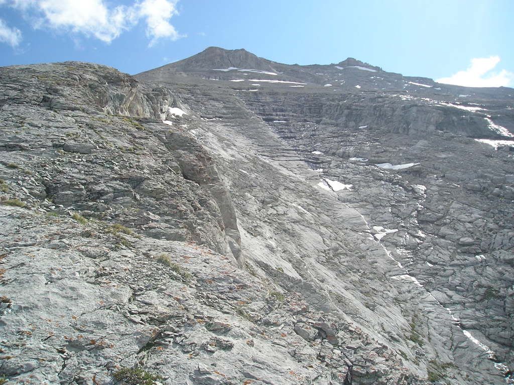
ANd some views of the summit from below. Man these pictures were disheartening. The "first" summit i talked about is on the left. The highest one we could get to is the one on the right (they both just look like little rock outcrops from here)
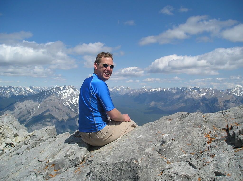
I was the first up to that high point by about 5 minutes or so and definitely stood there, threw my hands in the air and let out a huge roar. over 4 hours of steep, relentless hiking in progressively more adverse conditions. TOday's hike was one of the most physically demanding things I've ever done, but the accomplishment and the following views made it worth every step.
The peak closest to Banff. Not quite at the top here yet; at the top this looked so small
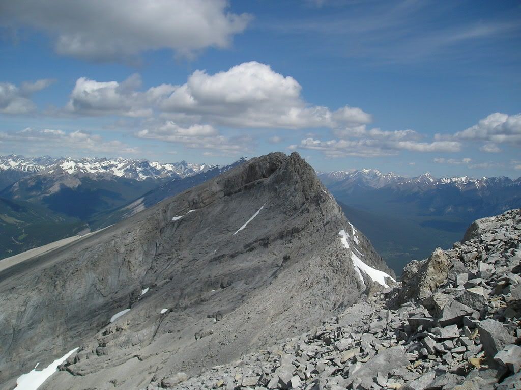
South to the sundance range
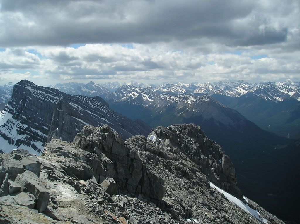
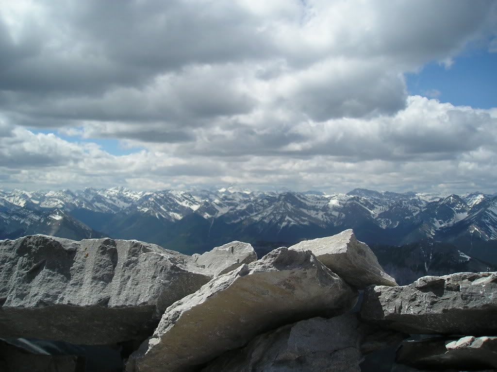
Southeast to Mt Assiniboine (the extremely tall one covered by clouds). Alas, you can't climb that mountain without a great deal of mountaineering experience, tons of gear, several days, and a good deal of weather-luck.
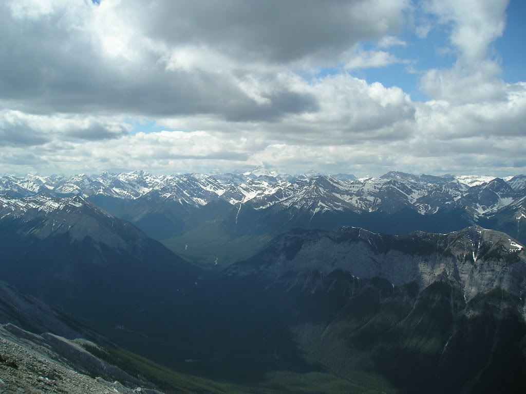
From the fort. Same direction. Definitely worth defending. Keep that swarm of tourists that we passed when we were going down. It's bad enough that they fill the town up and make me not want to come to town - they have to fill the mountain up too!
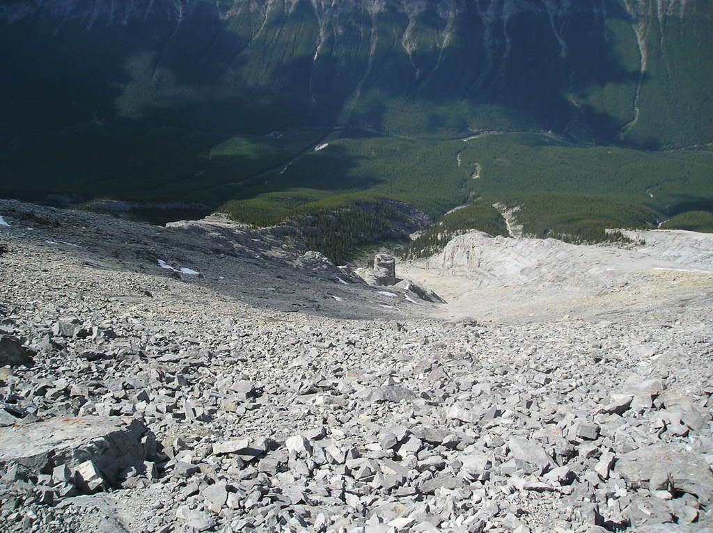
Down the slope. That's a lot of scree!!! (our route is 2 cliffs to the right)
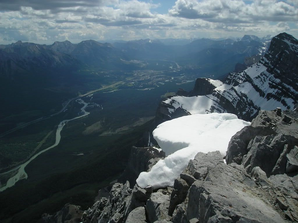
Northeast through the Bow Valley to Canmore (and, on a clearer day, Calgary)
West over town to the Sawback Range (and a ski area)
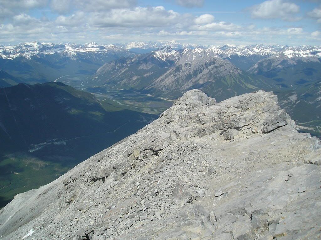
Normally Cascade looks so big... (northwest)
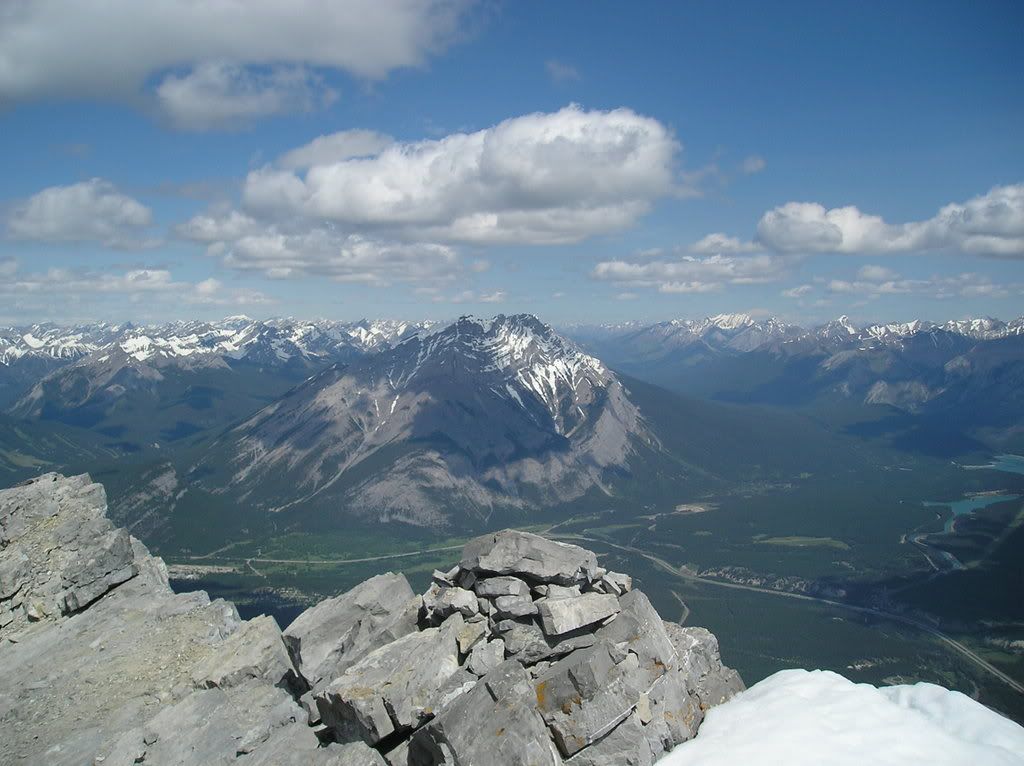
Across the Bow Valley (North)
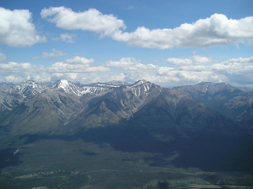
The North Face of Rundle is..well...cliffs. So here's a picture of that.
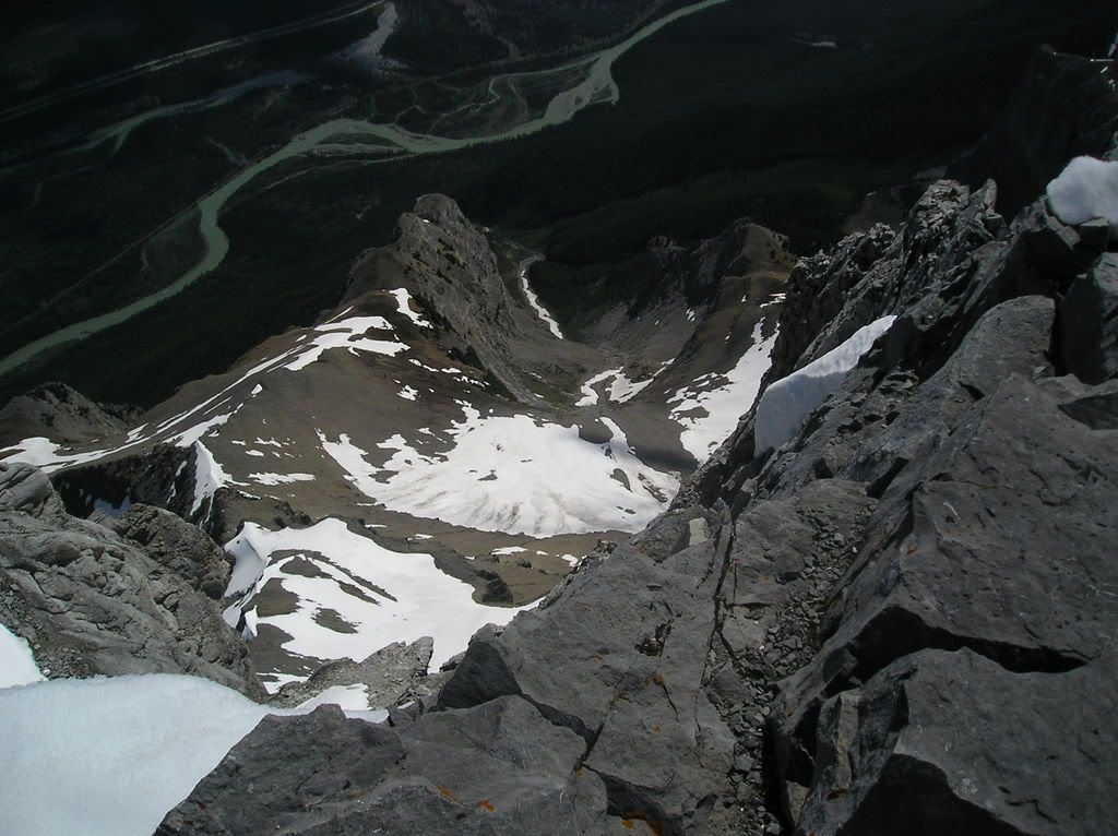
And a few pictures to sum up the rest of the trip. First, Tom being smart
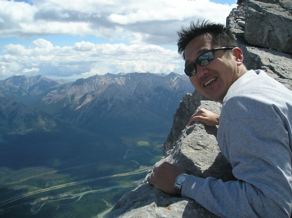
Second, me being...less smart
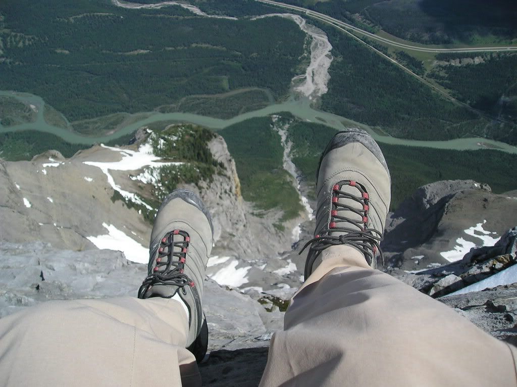
And thirdly - what is quickly becoming a tradition
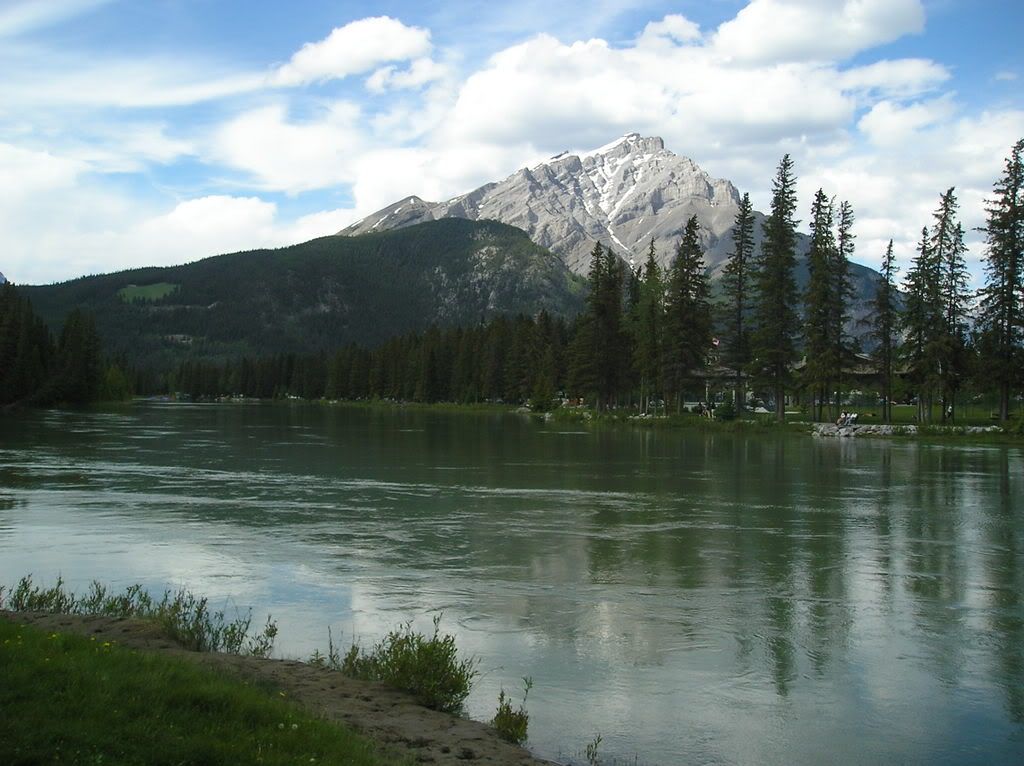
Finally, to soothe you from the last few pictures, something I shot while walking to work today afterwards. It's Cascade and the Bow River (which is still quite high)
Today was the day. Up Mount Rundle. Wowee... First, let's see if I can dig up a shot of this beast; I'm sure i've taken one at some point....
This one will do! It's an oldy, but a good-y!! Rundle is the one on the left

Let's see. Some stuff about Mt Rundle (talk about edutainment! This blog offers everything)
Elevation: 2950m (ooo!)
Mount Rundle is 12km long! Zomg! And has many "peaks" along the way
It's quite famous amongst Mountain Photographers (for obvious reasons) and geologists. The geologist part is actually pretty interesting:
You can quite easily see how the mountain was pushed up despite erosion (that has
changed many other mountains in the area that wer ebuilt the same way)
The rock on top is older than the rock on the bottom. Wrap your head around that one.
Anyway, before I say anything to the contrary, we didn't actually make it to the true summit. Like I said, there are many "summits" of the mountain and we made it the 2nd highest one. The highest is inaccessible without climbing gear. Man...gotta go back up there and build a huge cairn on top of our summt to fix that. Now THAT is a mission.
Anyway there were 4 of us set to go. One bailed and another called in sick to work..er...hike. So Tom and i went out. We hit the trailhead at 7:30 and were greeted by 6km of forested path, usually gently sloping but occasionaly some steeper switchbacks. The forest was nice, the bugs weren't so nice, adn the views weren't that much for a while. However, what was interesting was the continuing change in vegetation from very lush to very rocky.
Here's Tom. Otherwise this picture is pretty random

And a picture of the mountain across from us - Sulphur. Occasionally the trees would break like this and we'd get a view. They never broke up the mountain though, so we never really knew where we were or how far away from the summit we were.

Finally we got through "Part 1" (re: the easy part) of the hike and arrived at this gully. It gave us the first view of just how far we had to go. WE were dismayed. I checked our guidebook and they quoted that we were fortunate enough to STILL have 1125m in vertical-gain only to go. we were not impressed. But pressed on, persevered, and continued. And we kept going.

So the rest of the climb was...fun. Yea....fun. To say the route was steep would be like saying that mom's brand of stupid-food is "ok". It was also quite long. YOu can get a sense of the steep-ness in most of the shots.
The slope at the start

Long way up from that gully already. It hasn't gotten any easier

And our 1st break (same spot as the last 2 photos). Had some food here and a well-deserved rest. The slope is just unrelenting.

One of the more (or possibly only) interesting portions of the hike was this section over what's called "Dragon's Back". The pictures should explain why. The cliffs on each side were pretty big and the rock was fairly slippery because of all the loose pebbles on it. Exciting!!! Makes a good adrenaline-sport out of walking at .5 mph :p


No that last one i'm not outer space, but it's a cool camera effect!! Can't figure out how it happened.
So next up are a bunch of pictures taken from the summit. Definitely went 360-degrees up there. Was tough because it was FREEZING cold and the wind was nuts. I unfortunately failed in my role as king-gadget and left my uber-swiss army knife at home, so I was unable to get a temperature reading. But we figure somewhere between 2 and 4 degrees is accurate. Then there was an increidble amount of wind. It's a good thing that somebody was good enough to build a fort!! Alas, no verifiable evidence exists of my defending of said fort because I was on break

Tom up at the summit. ooo story...
So we're going up...and up...and up...and you get towards the top and you are walking right along the ridge...


And it's cool and somewhat scary and colder than blazes and we're exhausted and going "awesome! we're almost to the top!!!!!". So we turn 90-degrees and continue along the ridge (now the main, 12k ridge that runs the length of the mountain) and get to the summit and discover it's not, in fact, the top, and that we have to scramble another few minutes. *sigh*. Anywhere, here's tom at the highest accessible point

ANd some views of the summit from below. Man these pictures were disheartening. The "first" summit i talked about is on the left. The highest one we could get to is the one on the right (they both just look like little rock outcrops from here)


I was the first up to that high point by about 5 minutes or so and definitely stood there, threw my hands in the air and let out a huge roar. over 4 hours of steep, relentless hiking in progressively more adverse conditions. TOday's hike was one of the most physically demanding things I've ever done, but the accomplishment and the following views made it worth every step.
The peak closest to Banff. Not quite at the top here yet; at the top this looked so small

South to the sundance range

Southeast to Mt Assiniboine (the extremely tall one covered by clouds). Alas, you can't climb that mountain without a great deal of mountaineering experience, tons of gear, several days, and a good deal of weather-luck.

From the fort. Same direction. Definitely worth defending. Keep that swarm of tourists that we passed when we were going down. It's bad enough that they fill the town up and make me not want to come to town - they have to fill the mountain up too!

Down the slope. That's a lot of scree!!! (our route is 2 cliffs to the right)

Northeast through the Bow Valley to Canmore (and, on a clearer day, Calgary)

West over town to the Sawback Range (and a ski area)

Normally Cascade looks so big... (northwest)

Across the Bow Valley (North)

The North Face of Rundle is..well...cliffs. So here's a picture of that.

And a few pictures to sum up the rest of the trip. First, Tom being smart

Second, me being...less smart

And thirdly - what is quickly becoming a tradition

Finally, to soothe you from the last few pictures, something I shot while walking to work today afterwards. It's Cascade and the Bow River (which is still quite high)


6 Comments:
Gorgeous! Absolutely gorgeous. You are so lucky to be out there in that beautiful country. Enjoy!
love
mom
resize your photos!! not everyone runs on 1965735 x 29578243 resolution ya know
but they're nice
:)
You lucky bastard. The tallest thing I can climb here in Southern Ontario is a lousy Hummer.
Wow. Just...wow. These are some incredible adventures you're having, my friend!
Okay, now I definitely have to return to Alberta some day. And when I do, I need to visit the mountainous part.
what p'ete? you don't want to visit the flat sprucelands filled with mosquitoes and muskeg? i can't believe you're selling out to The Man and going to the tourist sites like that. for shame!
and jon, i've tried telling him the same thing, but "he likes it". you've seen the size of his monitor, he doesn't realize what it does to wee laptops like mine.
and noah... those feet pictures... good god. please stop. i'm going to take my camera back...
Beautiful phots. But pal, when I was in Banff, 2 kids were killed by peering over the edge via a gust of wind...thew 'em right over. Be very, very careful.
Post a Comment
<< Home